Modeling Island Coastal Resilience (LUPC)
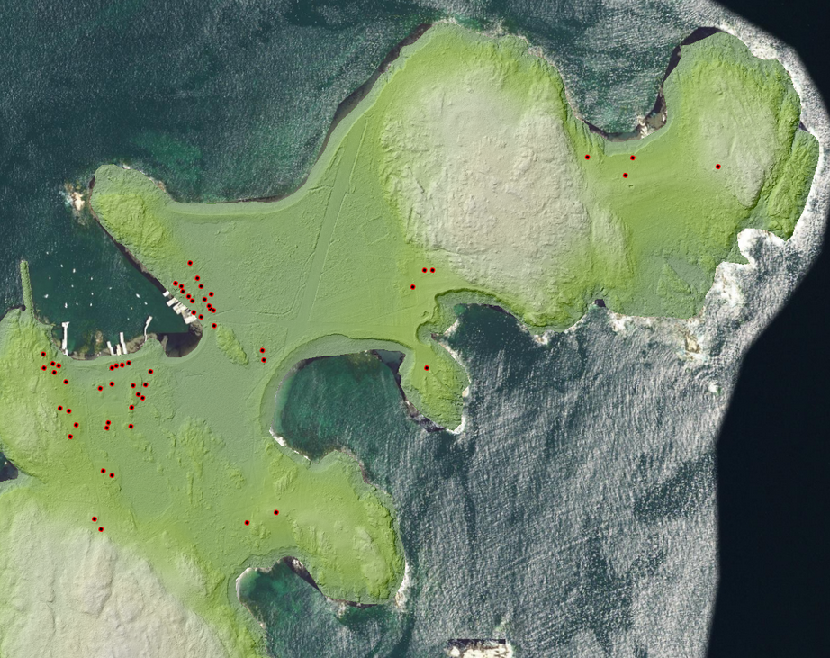
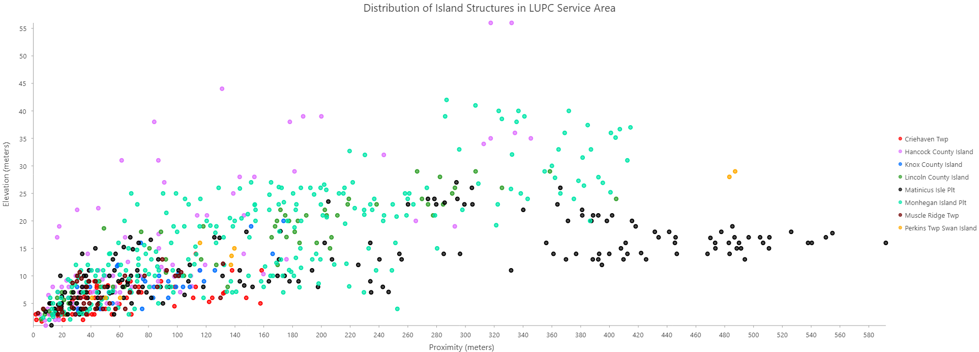
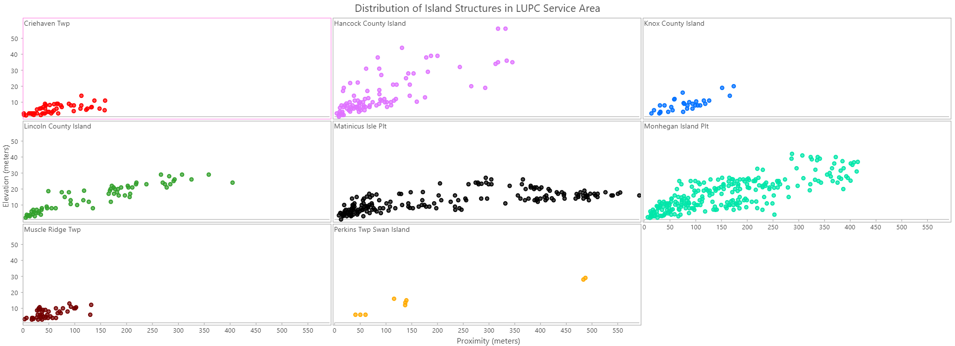
As part of an internship with the Maine Land Use Planning Commission (LUPC), I created a structure inventory of coastal islands in their service area. This greatly enriched the habitation data for these islands, which before was either extremely poor or non-existent. Using this new dataset, I then incorporated sea level rise projection data from NOAA and elevation data from MEGIS to quantify structure vulnerability against these predictions.
The work being done by the LUPC that incorporates my data has been featured in state government publications and news media, including Maine Public Broadcasting Network and Bangor Daily News. I grew up on Penobscot Bay, which is why I am particularly proud of the initiative that has been taken by organizations like the LUPC to incorporate modern technology into climate planning practices.